

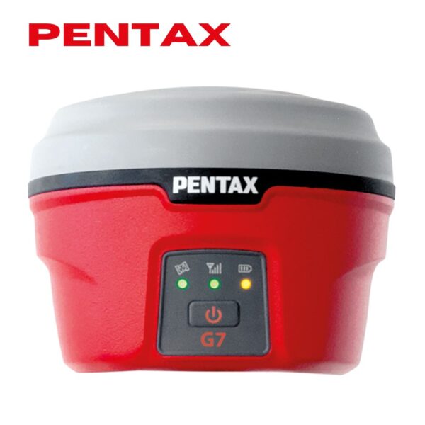

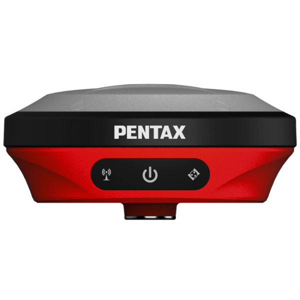
Powerful GNSS Engine
The GX2, equipped with a powerful multi-frequency GNSS engine, covers all positioning satellite systems such as GPS, GLONASS, Bedou, and Galileo. It is suitable for surveying tasks that require stable, fast, and accurate measurement results in any location.
Tilt compensation
Automatic tilt compensation within a range of ± 60°, eliminating the need to keep the receiver vertical. This reduces operational steps, improves job flexibility, and adapts to rugged terrain.
IP68 waterproof and dustproof
All the electronic components are enclosed in a lightweight yet robust magnesium alloy housing with IP68 waterproof and dustproof capabilities. This ensures stable operation in harsh weather or dusty environments.
Large LED display
The large, clear color LED display allows the operator to easily see the real-time status and operation of the equipment at a glance.
Laser measurement
GX2-L has a high-precision millimeter-level laser ranging
module that allows users to measure points inaccessible to
surveyors. Its built-in high-precision IMU compensates for receiver inclinations up to 60 degrees.
Optional Software PTS3.0 is required.
Imaging survey
GX2-C features a 1/2.6-inch large base high-definition wide-angle camera mounted on the side of its housing. It can capture images for photogrammetry measurements.
Optional Software PTS3.0 is required.
AR stakeout
All models of the GX2 can capture images of the ground directly below using a high-resolution camera mounted on the bottom of the receiver. The captured images are reflected in real-time on the controller’s software, providing visual guidance for stakeout tasks.
Optional Software PTS3.0 is required.
Dual hot-swap battery system
The GX supports a hot-swapping dual lithium battery system, enabling over 20 hours of uninterrupted continuous operation. This makes it especially suitable for long-term outdoor surveying work.





Reviews
There are no reviews yet.